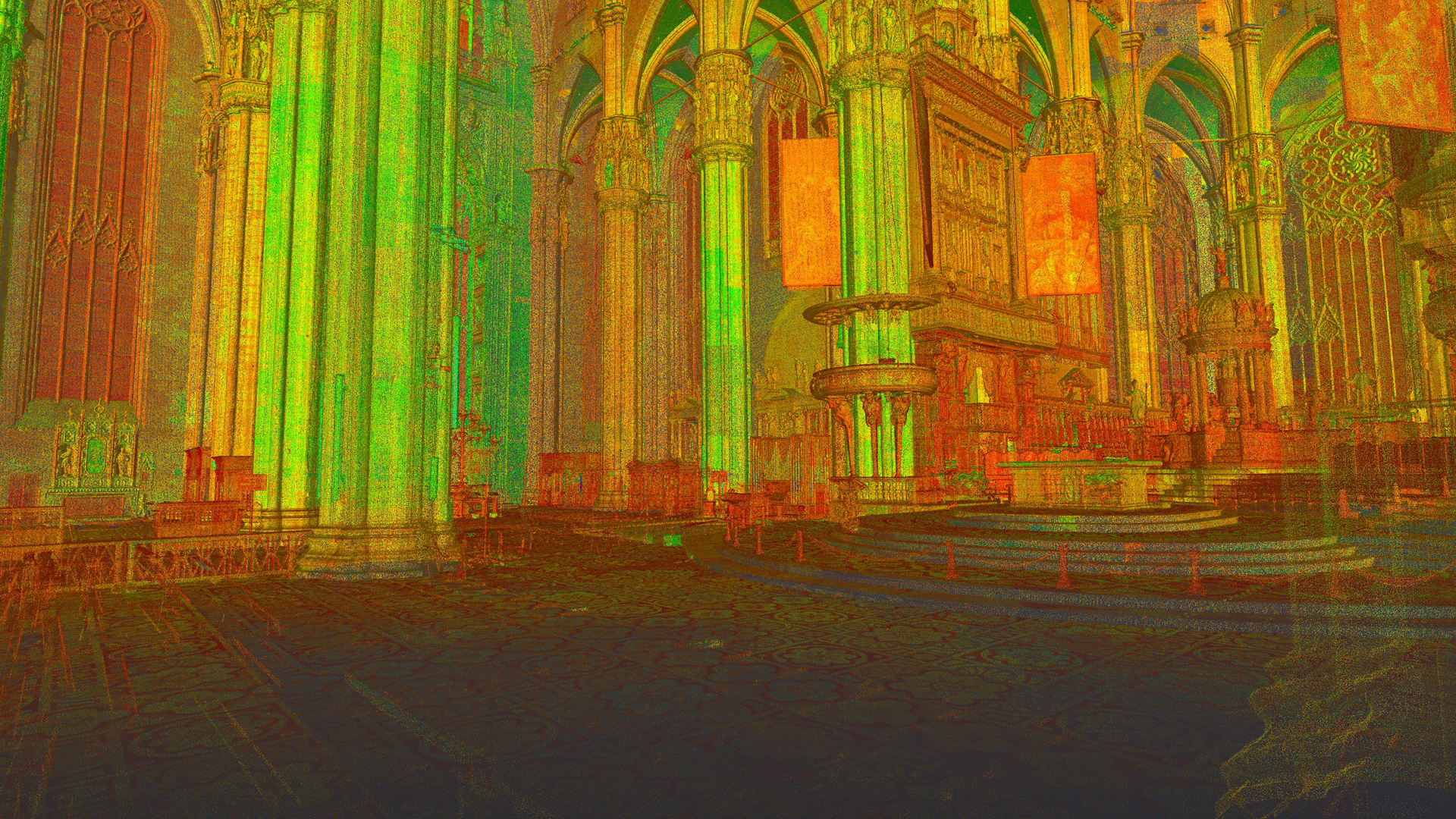
The Lab operates in the field of Geomatics: topography, photogrammetry and laser scanning. The research activities are focused on surveying and measurement in the field of architecture/archaeology, with particular attention at the cultural heritage. The laboratory specializes in three-dimensional surveying in the archaeological field to support excavation operations, architectural surveying of complex architecture and environmental surveying with drone techniques. Other research topics are reality-based three-dimensional modelling on a large (1-20, 1:50) or very large scale (1:1), the creation of dedicated information systems to support building maintenance and conservation operations, BIM and HBIM, 3D GIS and cartography; structural monitoring (precision topography).
Services offered
- surveying complex architecture and archaeological sites and excavations using laser scanning and photogrammetry techniques;
- photogrammetric surveying with UAV instrumentation;
- close-range photogrammetric surveying and 3D scanning on a very large scale (1:1) of paintings, statues, decorations and small objects;
- topographical monitoring and control;
- management of 3D data in BIM/GIS information systems developed ad hoc in a web environment;
- training courses.
Tools
The Lab features a wide range of tools for terrestrial topographic surveying (total stations, level, and various laser scanners), UAV systems and professional photographic instrumentation.


