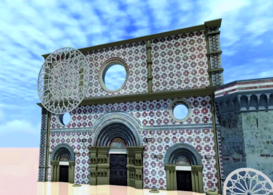
Consisting of the sections ‘Surveying and Modelling’ and ‘Surveying and Monitoring’, the Lab deals with the surveying and management of multi-scale three-dimensional data, from individual buildings to cartographic and satellite applications. It cooperates within international, national and regional projects. It designs and participates in the implementation of multi-scale surveys, BIM and GIS-WEBGIS modelling, geoportals of historical architectural heritage, Built Environment, historical and archaeological sites. It develops multidimensional environments based on the most modern generative modelling techniques, HBIM modelling based on generative processes able to maintain the accuracy of 3D surveying data (laser scanning and digital photogrammetry), interactive environments for Virtual and Augmented Reality (VR-AR) and development of add-ins for 3D modelling software.
Services offered
The Lab provides consulting, surveying, BIM modelling and monitoring services, as well as the management and implementation of Open Source Geoportals.
Tools
The Lab features tools for terrestrial topographic surveying (theodolite, total station and laser scanner) supported by UAV (Unmanned Aerial Vehicles) systems.

