ENGINEER
Website's Project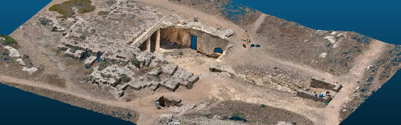
ENGINEER
Website's ProjectCivil engineering and geomatics innovative research on heritage
Branka Cuca (Principal Investigator)
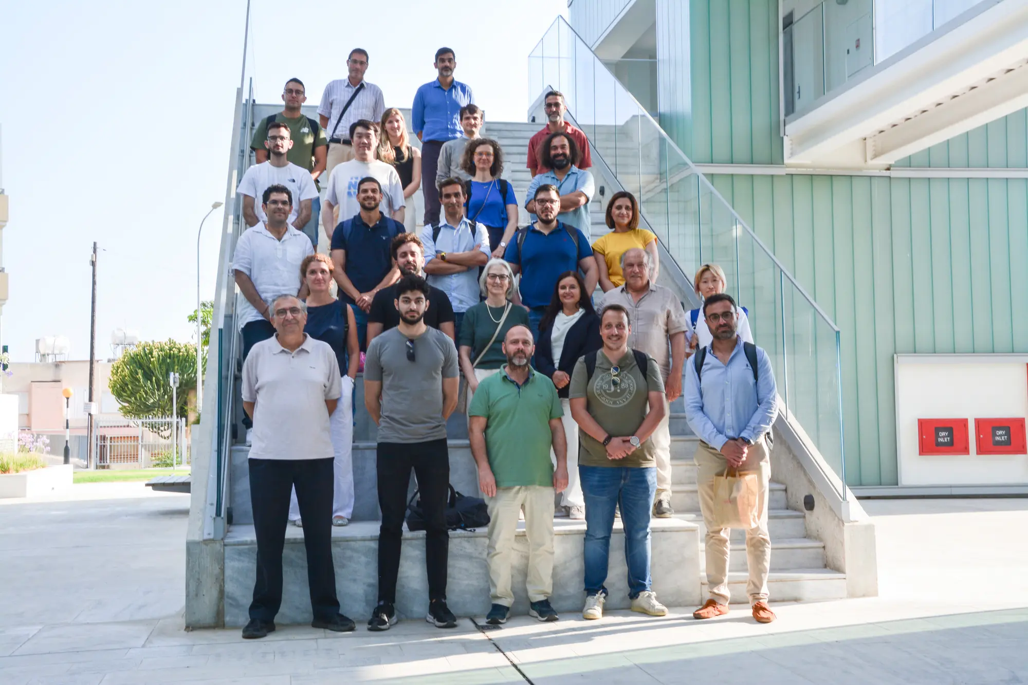
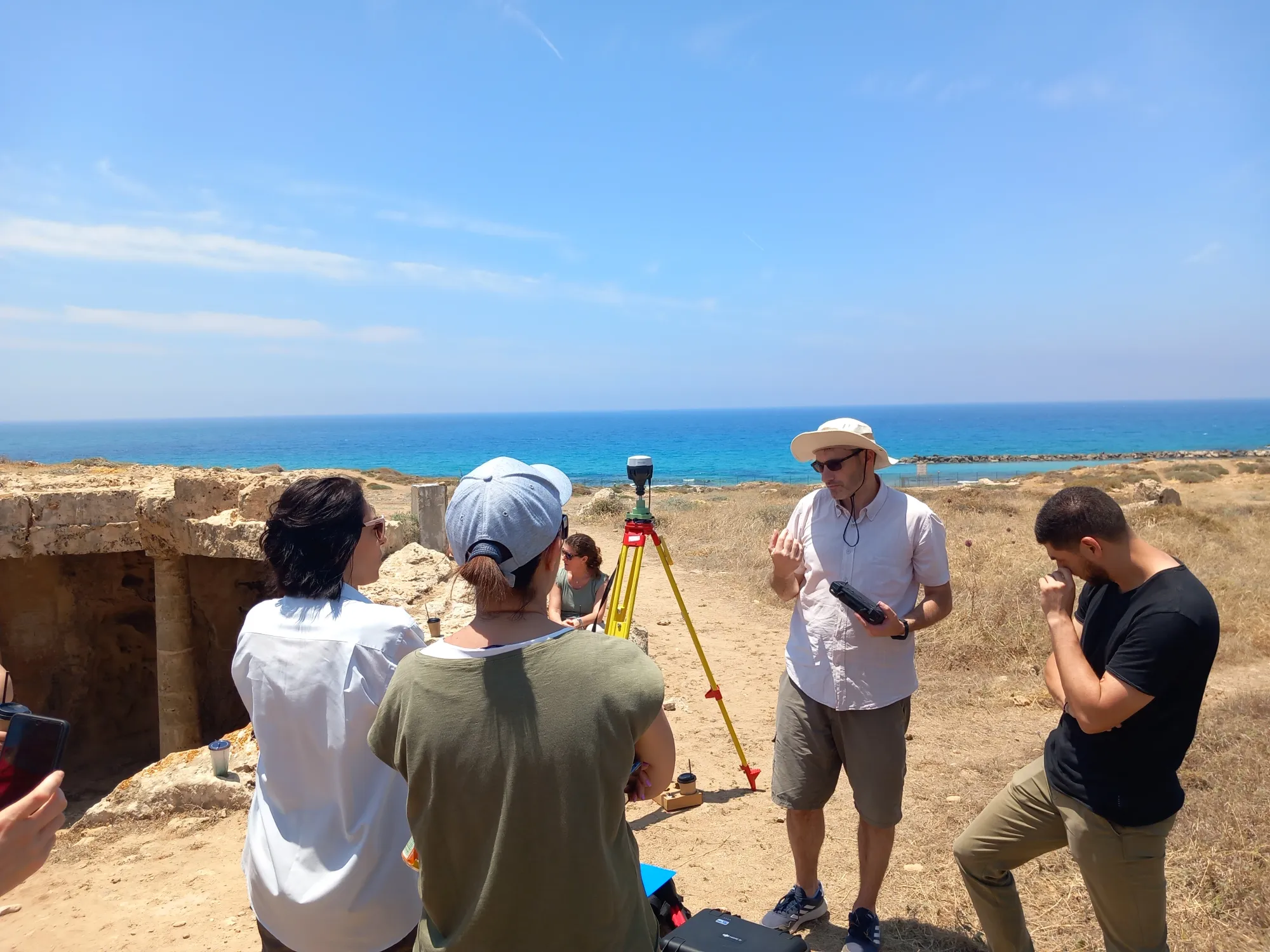
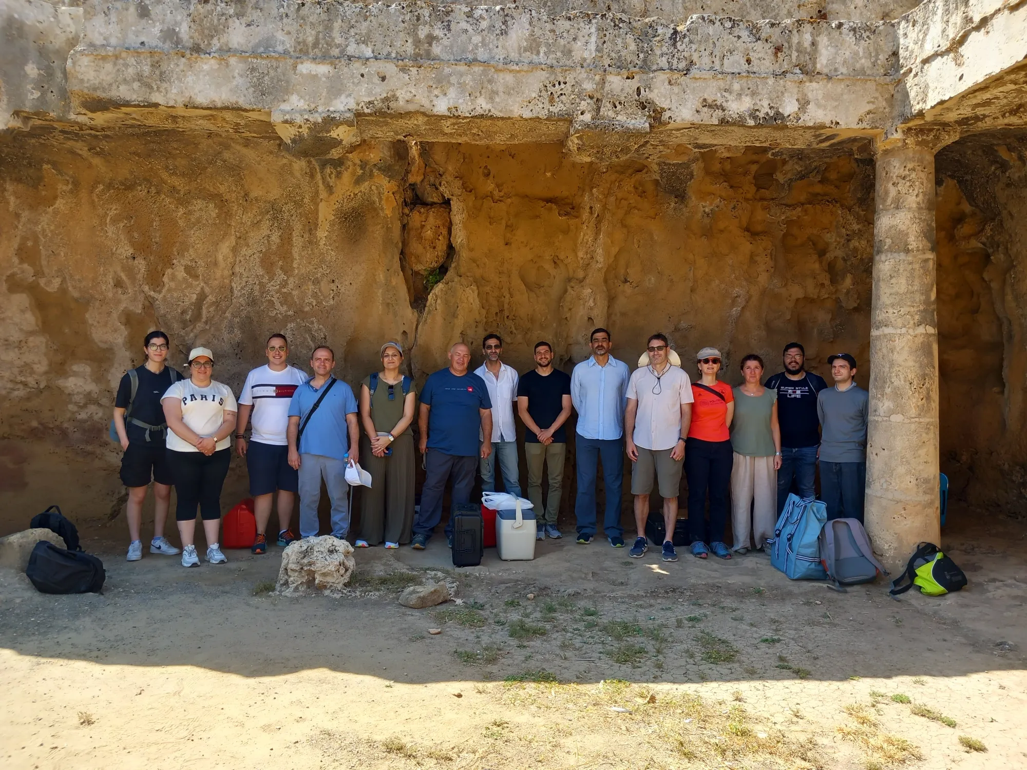
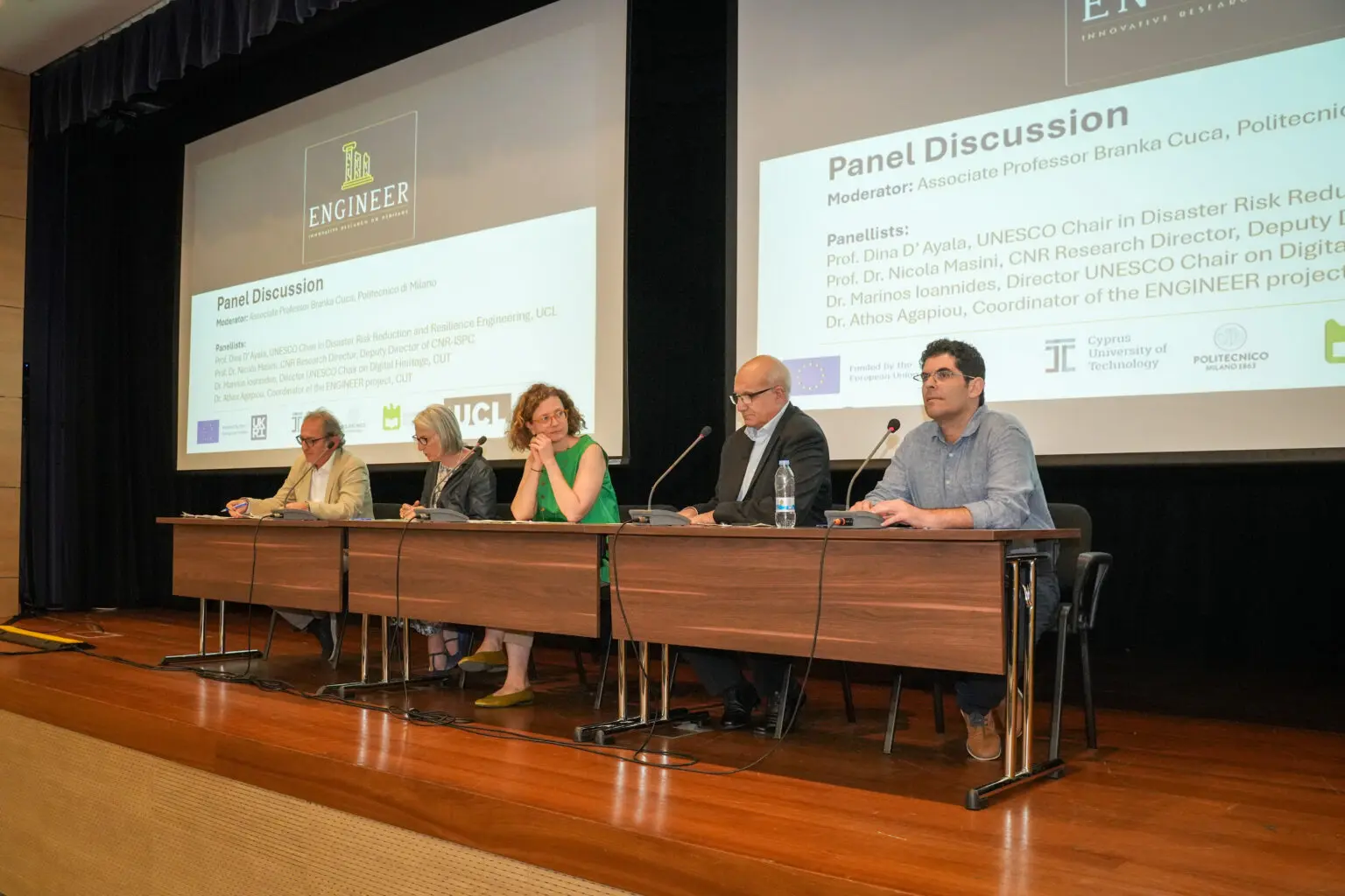
ENGINEER aims to enhance the Department of Civil Engineering and Geomatics of the Cyprus University of Technology (CUT) research and innovation potentials through coordination and support actions provided by the Twinning call of the Framework Programme Horizon Europe. The proposal visions to fill research gaps, push, and extend knowledge into new innovative methods for recording, digitisation, visualization and monitoring of CH, providing scientific outputs for their conservation, value promotion and safeguarding. For this vision, CUT has aligned forces with three leading institutions of Europe, namely the Polytechnic University of Milan, University College of London and University of Aveiro. The leading teams will work closely with the local team through targeting training research activities, mobility actions, networking and in-situ pilot applications. At the same time, the leading institutions will advance research management, administrative skills and promote industrial and knowledge transfer, thus reforming the Department’s R&I system. Local dimension is supported through the activities of Eratosthenes Centre of Excellence.
Contribution to SDGs: 4, 11

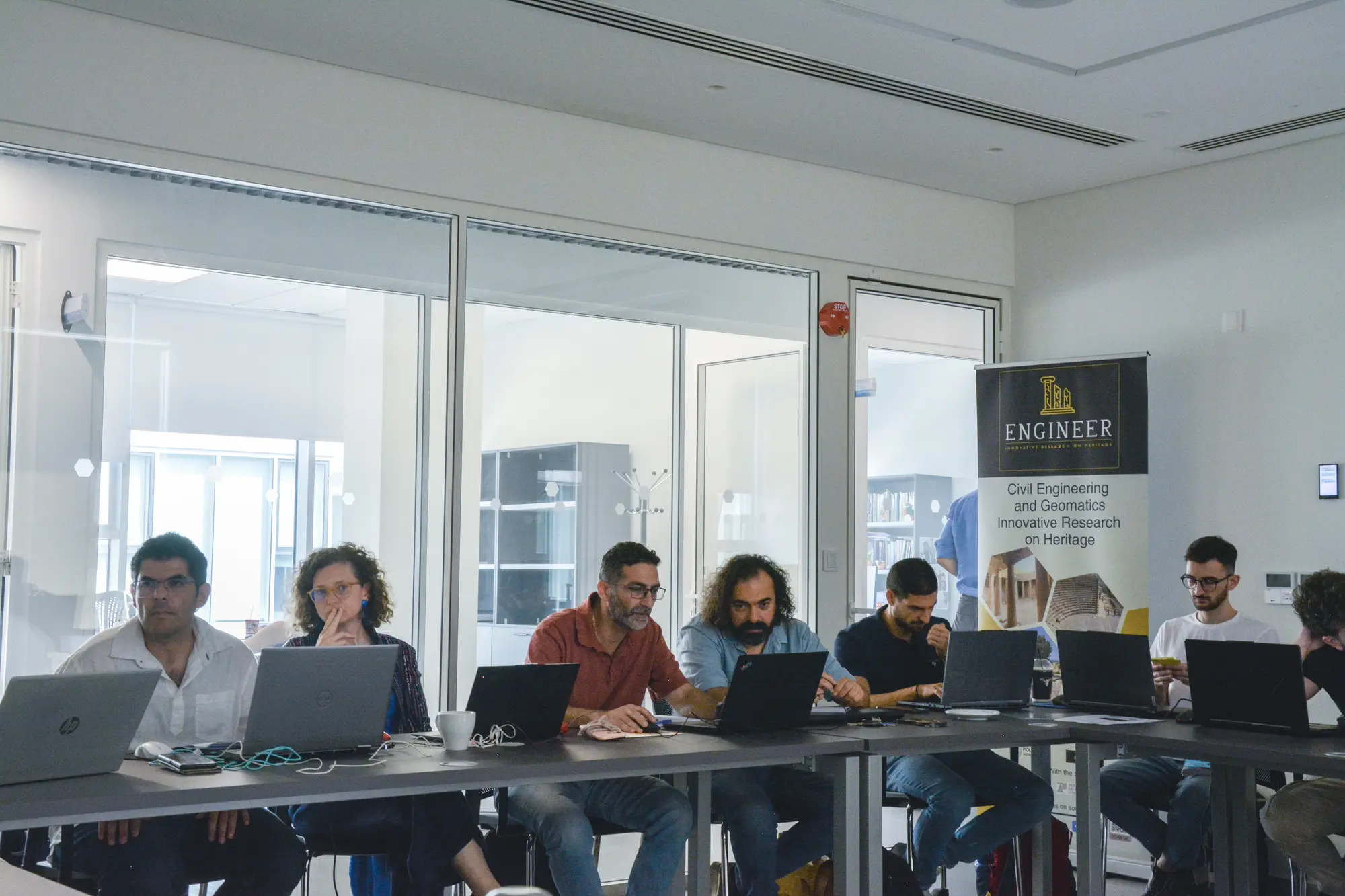

DABC Activities
POLIMI DABC provides support and examples of excellence in practice to CUT colleagues, in domain of data acquisition, integration and visualisation for purposes of distant and not destructive documentation, monitoring and modelling of built cultural heritage and its context. Through collaborations with other Departments and Polimi Task Forces, DABC activities highlight the added value of acting within the system and through coordinated collaborations.
Partners
Cyprus University of Technology – CUT (coordinator), University College London – UCL (Advanced partner), University of Aveiro – UNAVEIRO (Advanced partner), Eratosthenes Centre of Excellence – EcoE (Advanced partner)
Publications
Publications on other databases:
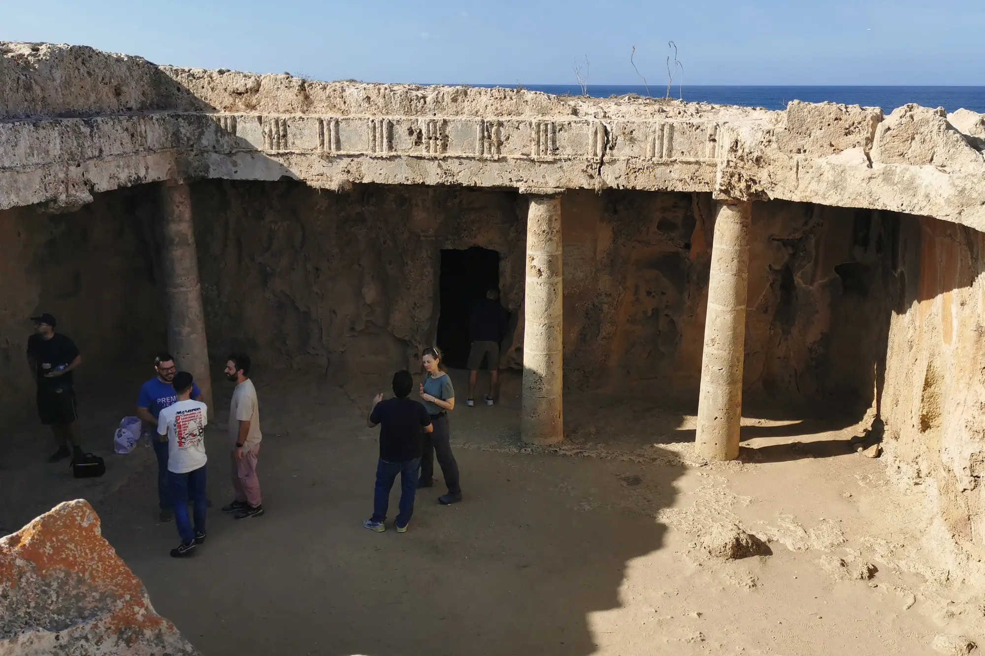
Turchetti, F., Oreni, D., Votsis, R., Kyriakides, N., Cuca, B., & Agapiou, A. (2026). The Analysis of a Column of the Tomb 7 Colonnade at the Tombs of the Kings Archeological Site: A Comparative Evaluation of Scan-to-FEM Methodologies. Heritage, 9(3), 100.
Link address: https://www.mdpi.com/2571-9408/9/3/100
Li, L., & Cuca, B. (2026). Interoperability and optimization issues in mixed reality setup for complex built heritage, Int. Arch. Photogramm. Remote Sens. Spatial Inf. Sci., XLVIII-2/W12-2026, 247–254.
DOI: 10.5194/isprs-archives-XLVIII-2-W12-2026-247-2026
Link address: https://isprs-archives.copernicus.org/articles/XLVIII-2-W12-2026/247/2026/
Turchetti, F., Cuca, B., Oreni, D., & Agapiou, A. (2025). Recording of Historic Buildings and Monuments for FEA: Current Practices and Future Directions. Heritage, 8(2), 55.
link address: https://www.mdpi.com/2571-9408/8/2/55
Skarlatos, D., Cuca, B., Kafataris, G., Previtali, M., & Agapiou, A. (2024). Low-cost photogrammetry solutions for surveying confined underground spaces: Testing the traditional set-up against 360° camera on Tombs of the Kings archaeological site. The International Archives of the Photogrammetry, Remote Sensing and Spatial Information Sciences, XLVIII-2/W8-2024, 425–430.
DOI: 10.5194/isprs-archives-XLVIII-2-W8-2024-425-2024
Link address: https://isprs-archives.copernicus.org/articles/XLVIII-2-W8-2024/425/2024/
Cuca, B., & Agapiou, A. (2024). The Potentials of Large-Scale Open Access Remotely Sensed Ready Products: Use and Recommendations when Monitoring Urban Sprawl Near Cultural Heritage Sites. 2024 IEEE Mediterranean and Middle-East Geoscience and Remote Sensing Symposium (M2GARSS), 300–305.
DOI: 10.1109/M2GARSS57310.2024.10537350
Link address: https://ieeexplore.ieee.org/document/10537350
Agapiou, A., Aktas, Y., Barazzetti, L., Costa, A., Cuca, B., D’Ayala, D., Kyriakides, N., Kyriakidis, P., Lysandrou, V., Oreni, D., Previtali, M., Skarlatos, D., Tavares, A., & Vlachos, M. (2023). Geomatics and civil engineering innovative research on heritage: introducing the “ENGINEER” project. The International Archives of the Photogrammetry, Remote Sensing and Spatial Information Sciences, XLVIII-M-2–2023, 27–32.
DOI: 10.5194/isprs-archives-XLVIII-M-2-2023-27-2023
Link address: https://isprs-archives.copernicus.org/articles/XLVIII-M-2-2023/27/2023/
All publications about project ENGINEER: https://engineer-twinning.eu/scientific-outputs/