SINERGIA project - Environmental UAV survey
2015
The SINERGIA project “Innovative systems for the production of renewable energy through the management of short-cycle arboriculture systems” made it possible to test and promote, alongside workers in the agro-forestry sector, innovative techniques for the management of systems of rapidly growing tree species dedicated to the production of lignocellulosic biomass to be used in the production of biomass energy, demonstrating its potential from an economic point of view and its sustainability from an environmental perspective.
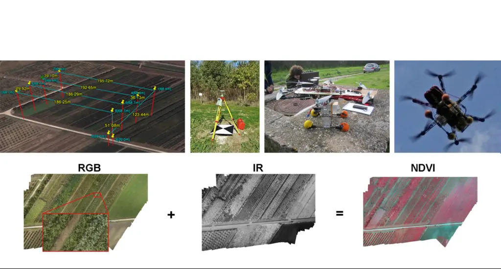
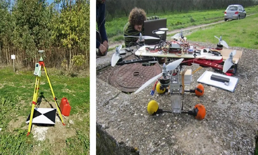
As part of the project, the 3Dsurvey Group was responsible for designing a UAV system (3DSL_MR6001 ENAC certified for non-critical specialised operations in accordance with ENAC 5011 21/07/2015) capable of capturing RGB and IR images in order to process false colour NDVI images that provide information about the health of the vegetation. The test field, in the locality of Eboli, was equipped with 16 tie-points in addition to 5 GCP (ground control points) measured using static GPS instrumentation. The surveys were repeated on a monthly basis over the course of a calendar year.
The data acquired was processed using photogrammetry in order to obtain extremely high-resolution orthophotos (GSD = 2cm) of the entire installation which extended over approximately one hectare. The data acquired also make it possible to measure the main geometric features of the vegetation: trunk sections, foliage volume, inter-axle spacing and height of the rows. The data were collected and referenced in a geographic information system built with ARCMAP that makes it possible to extract and compare the information obtained during the various measurement procedures.