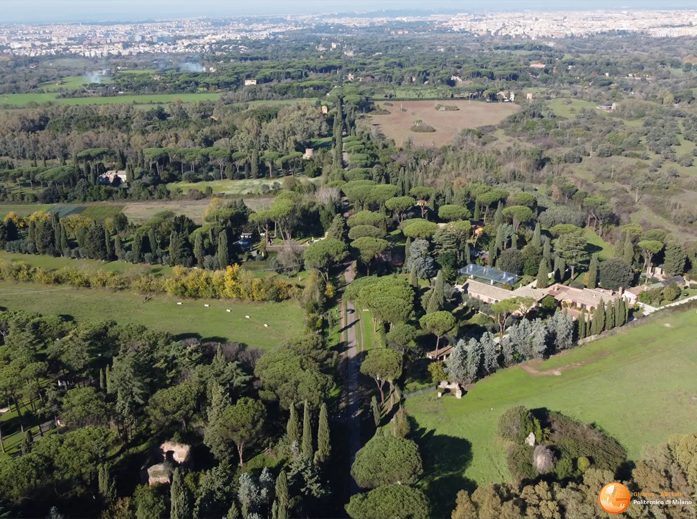
Appia Antica Archaeological Park “Regina Viarum”, State-owned section of the Via Appia Antica, from Capo di Bove civic 195 to Frattocchie di Marino (11.7 km)
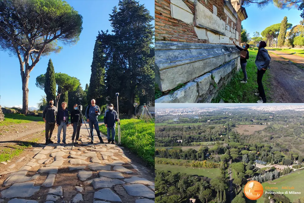
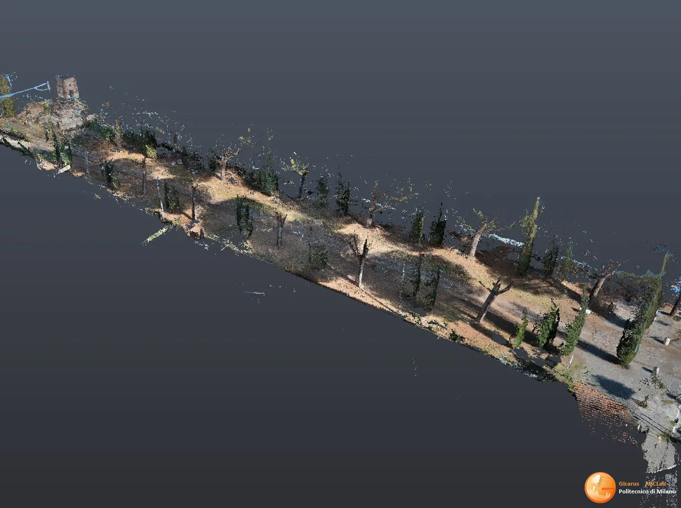
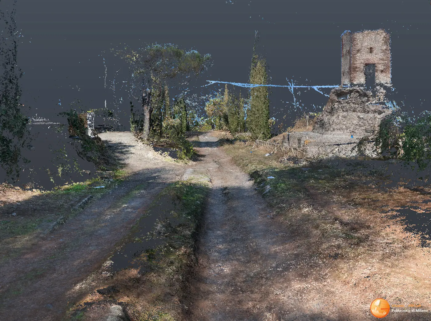
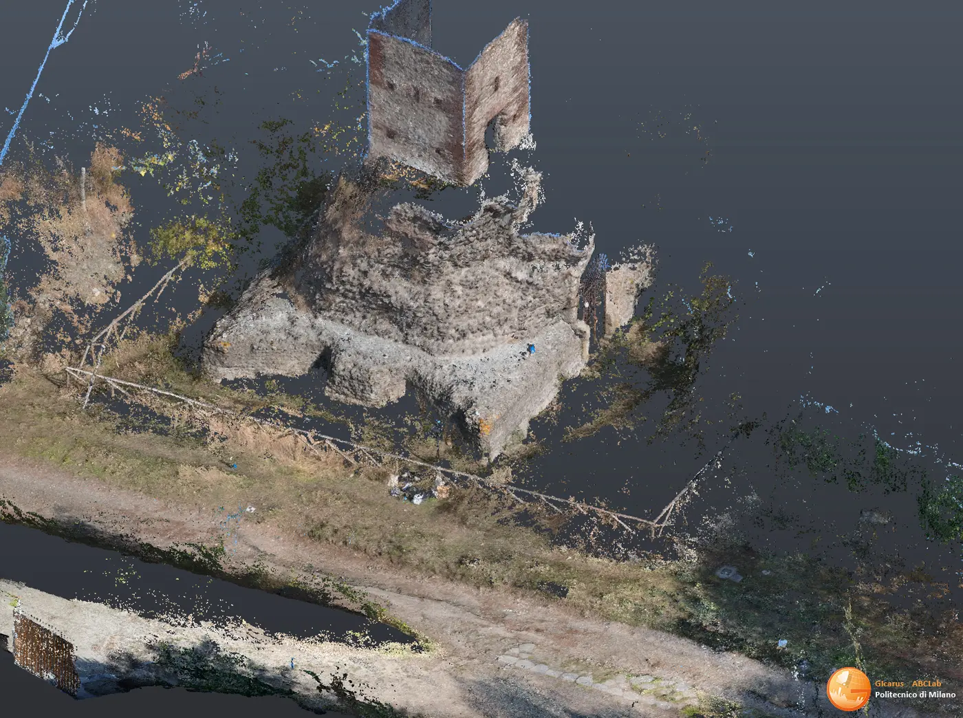
Scan-to-xr Digitization. Laser scanner and photogrammetric detection, interoperable 3D geometric rendering of webgis/XR aimed at creating a Digital Twin to support knowledge and design.
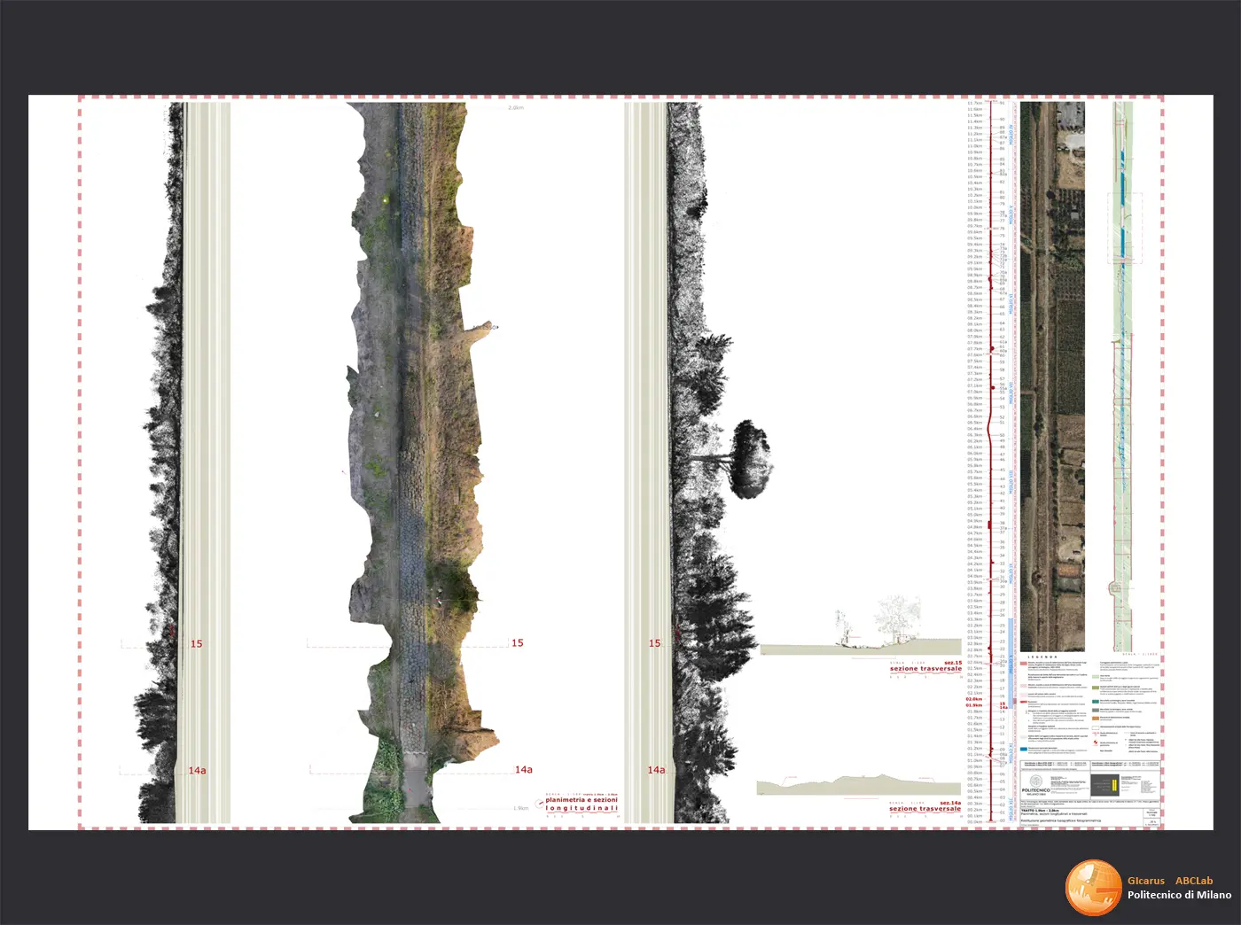
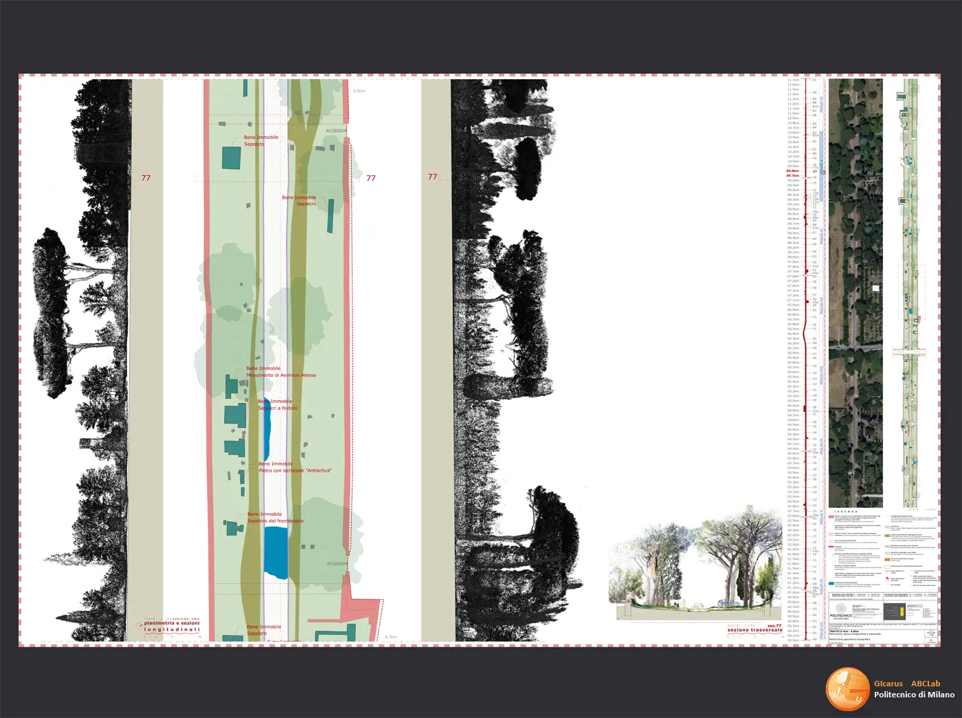
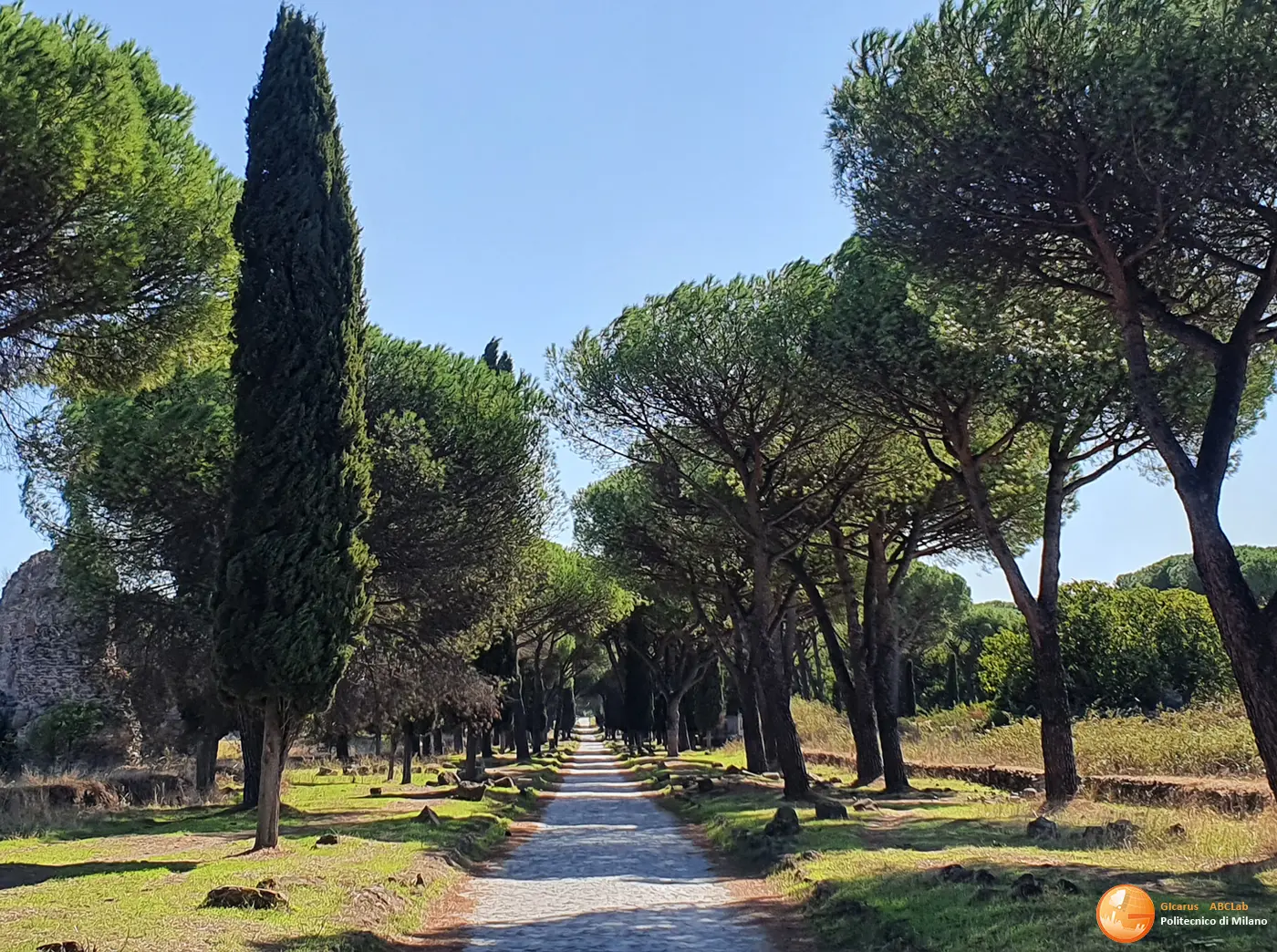
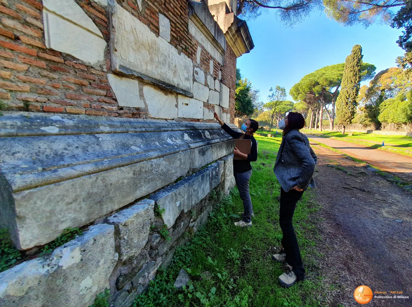
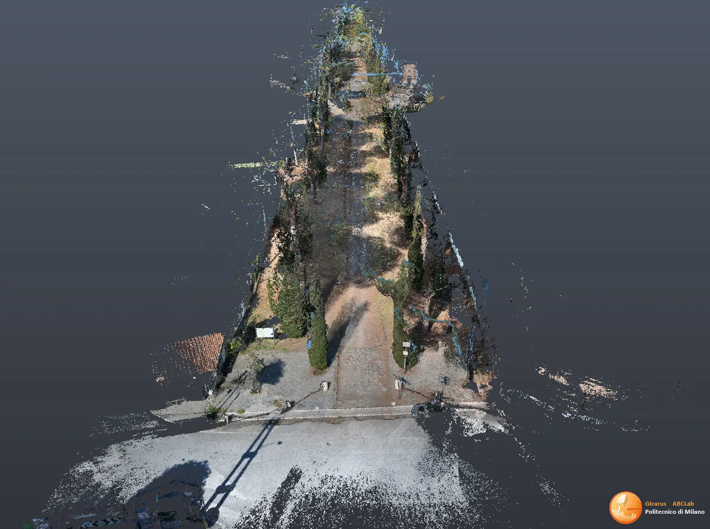
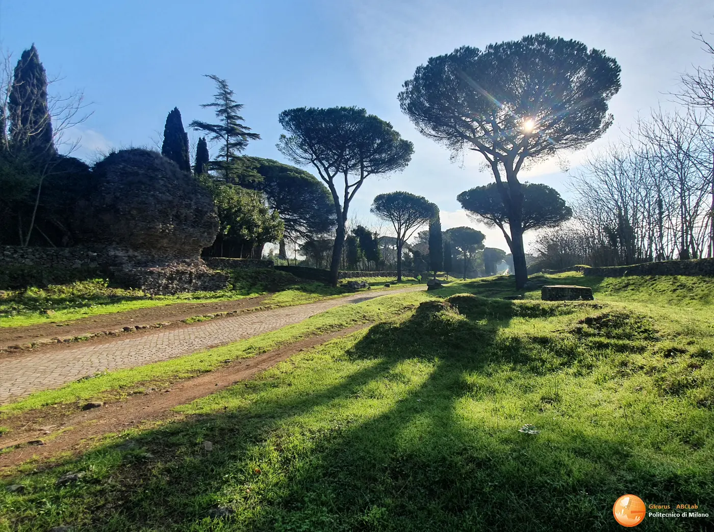
The project is part of the recovery and valorisation activities of the original route of the Appian Way to allow, through “slow” tourist mobility, access and use of the cultural heritage that gravitates towards it. The advanced state of degradation and instability, the fragility and complexity of the structure required a specific survey and study activity aimed at substantially updating and integrating the cognitive framework currently available to the Park, to generate a digital geometric model manageable in the cartographic field and at the same time local detail to the architectural scale to support the design with the aid of integrated advanced acquisition and survey methodologies and techniques. The route of the Appian Way with the funerary monuments on the roadside covered by the survey includes Appia Regina Viarum within the framework of the ministerial project for the valorisation of the route from Rome to Brindisi. The survey and geometric restitution activities concerned the entire state-owned stretch of the Via Appia Antica, from Capo di Bove civic 195 to Frattocchie di Marino (11.7km), for an area that includes on the short side the reservoir of the ancient land as defined between 1851 and 1855 by the implementation of the “Project for the arrangement of the Via Appia Antica as an archaeological walk” by the architect Luigi Canina, including the vehicle surface and the crepidini within a band of approximately 14 meters delimited by predominantly dry stone walls (macére) which extends to include monuments, tombs and state-owned mausoleums arranged along the road. A plano-altimetric geodesic network that allowed framing all the survey in the UTM reference system and in a GIS aimed at supporting the initiation of a webgis.
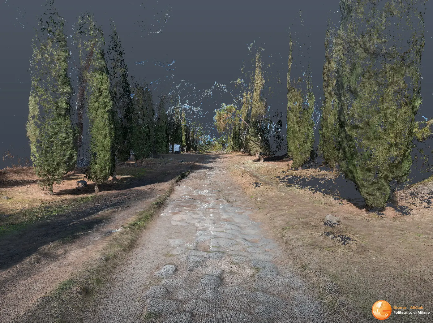
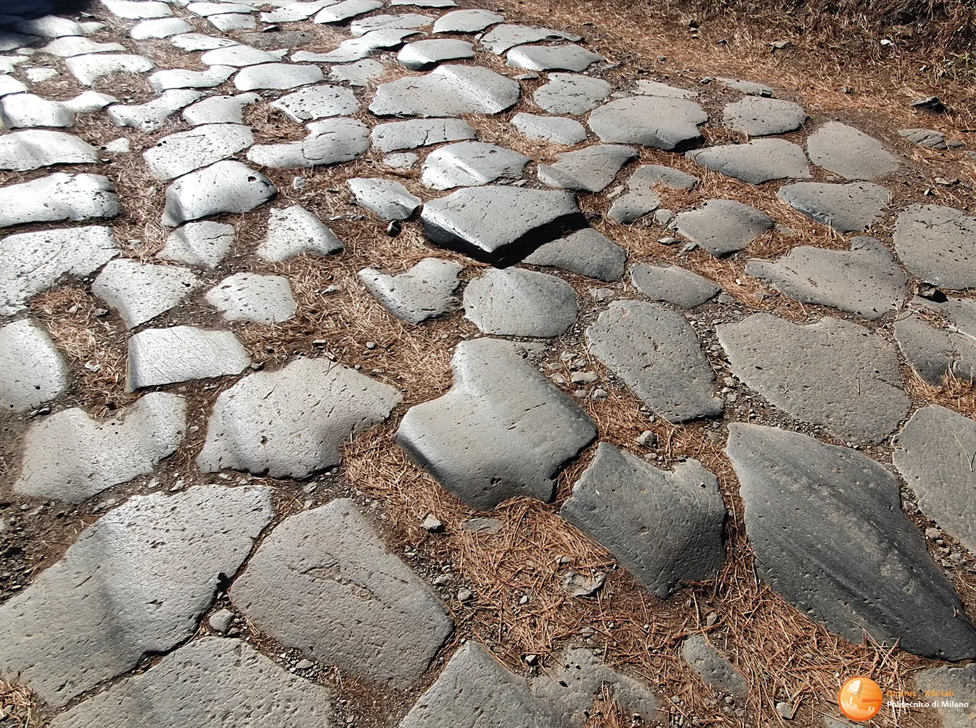
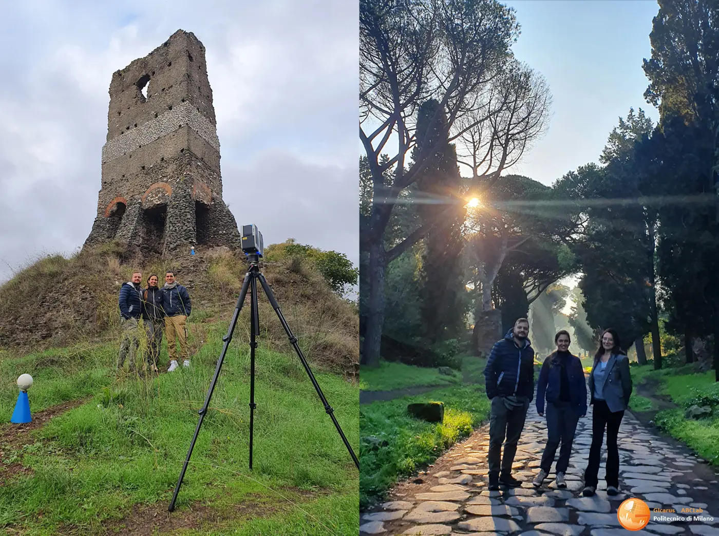
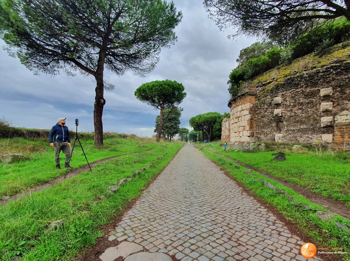
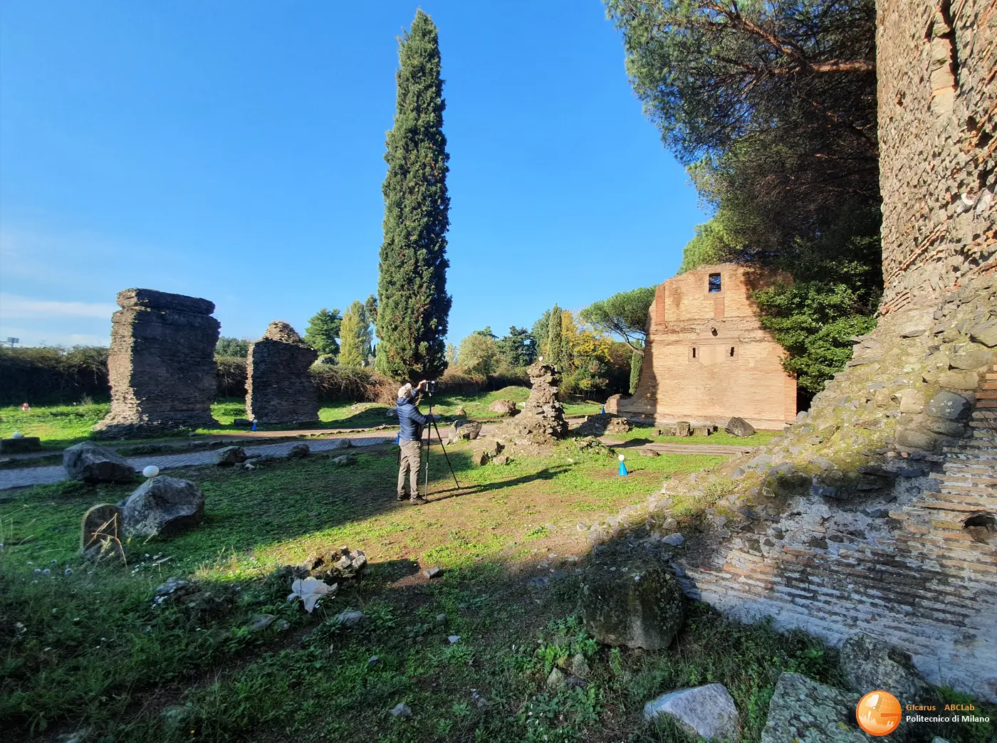
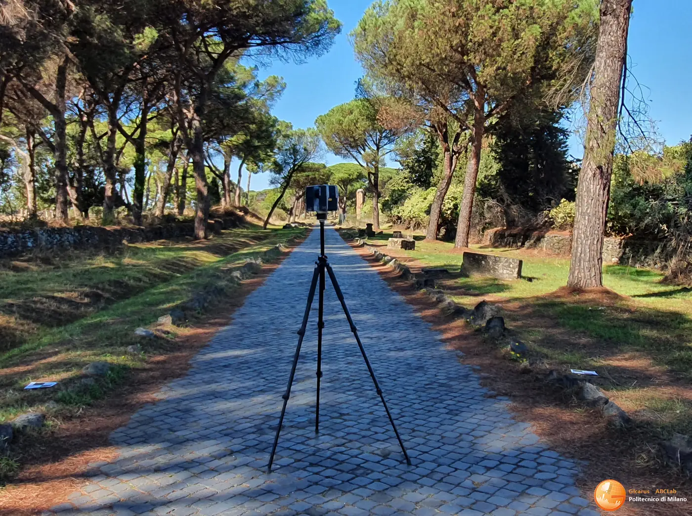
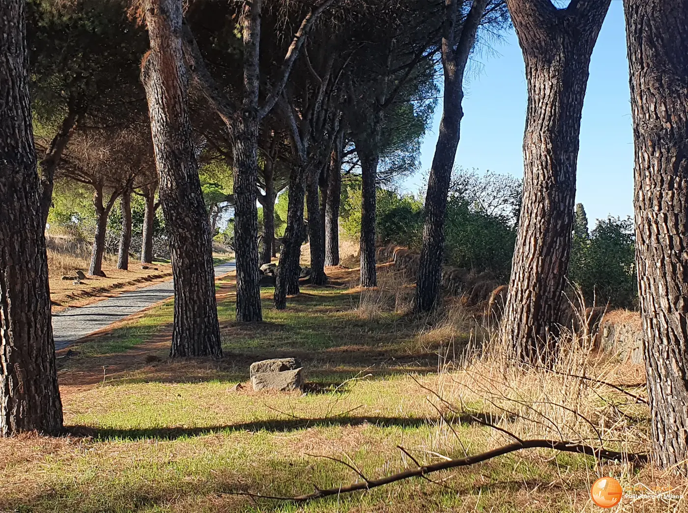
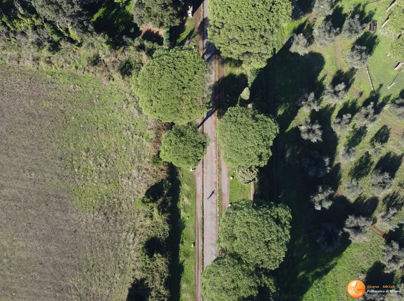
The survey was carried out thanks to the integration of phogrammetric survey with traditional digital cameras and spherical cameras and laser scanners with terrestrial laser scanners and portable laser scanners (MMS Mobile Mapping System GEOSLAM). A high resolution Orthophoto (2 mm pixels) was carried out in the first 4 km aimed at documenting the fragile portions. A geometric and environmental survey allowed the classification of the entire roadway with the different consistencies (Basolato, Pavé, areas without paving, with dissolved material, green area), the 3D classification of the portions of the paving with traces of Basolato, as well as of the crepidines (stones that marked the roadway from the sidewalks), the mapping of Real Estate and Movable Property for over 2000 entities including monuments, mausoleums and burial stones along the state-owned area of the Appian Way, and the route of the Macere that delimit the state-owned area. The inclusion of the landscape environmental context represented by the trees was integrated thanks to the new generation portable land-based and mobile laser scanner clouds (MMS GEOSLAM). The laser and photogrammetric point clouds were developed to support the ongoing design in the different phases of cartographic scale (1:10,000, 1:2000, 1:1,000) and architectural scale (1:500-100-50).
Clients
Pubblica Amministrazione – Parco Archeologico dell’Appia Antica (PAAA), MiC (Ministero della Cultura)
Location
Roma – Via Appia Antica